Cowans Gap State Park
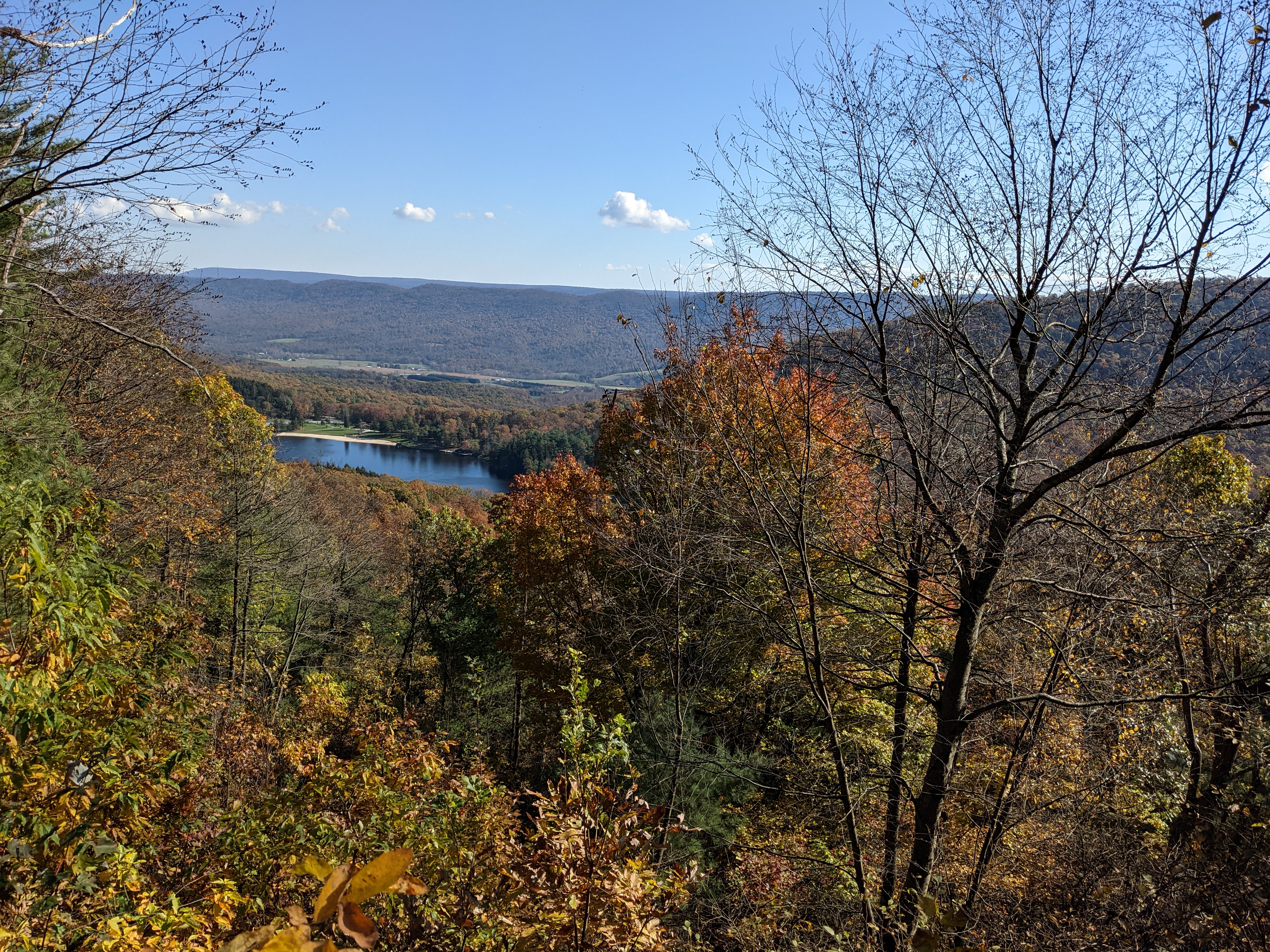
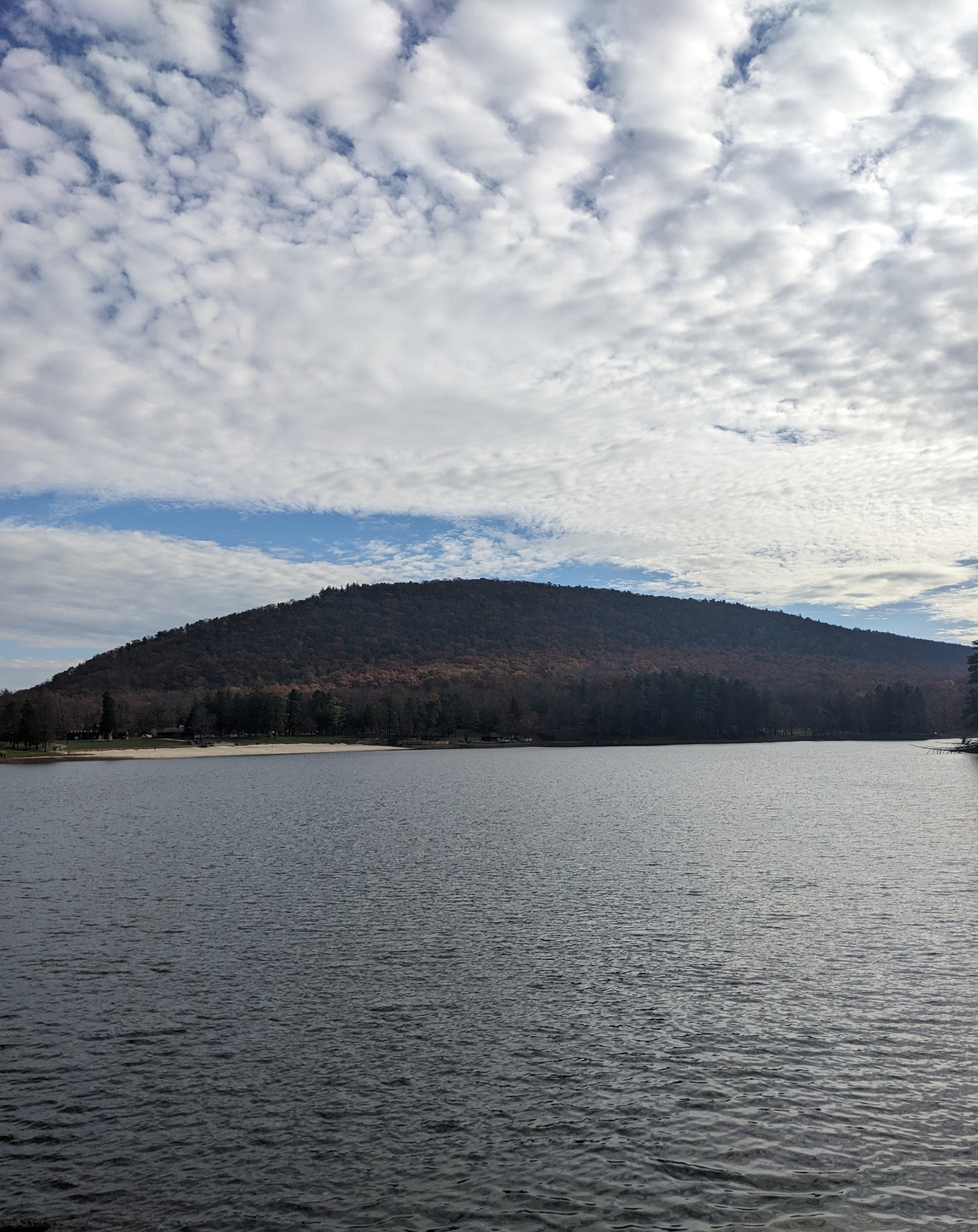
Cowans Gap State Park is a 1085 acre beautiful park in Fulton County with a 42 acre lake. Cowans Gap Lake features a beach and swimming area. The lake is stocked with trout, bass, perch, catfish and panfish. Cowans Gap has 2 campgrounds and plenty of hiking. The park educator has great programs. Overall it is a great park with plenty to see. Be sure to visit Buchanan's Birthplace State Park.
Feature Summary
- Official website: https://www.dcnr.pa.gov/StateParks/FindAPark/CowansGapStatePark/Pages/default.aspx
- Campsites: 201 campsites in 2 campgrounds with electric and non-electric sites, 10 Rustic Cabins
- Firewood availability: at the campground host
- Bath Facilities: Modern Restrooms, showers, wash sink for dishes
- Pavilions: 4 pavilions
- Hiking: 13 mi
- Other Activities: Swimming, Boating (electric motors), Fishing
- Cellphone reception: none to spotty
- Dates We Visited: 10/2020, 11/2021, 11/2022, 11/2023
Camping
Cowans Gap has 2 campgrounds with 201 electric and non-electric sites. The campground is open from the second Friday in April to the day following deer season in December. Campground A is the larger campground and has both pet friendly and pet free loops. Campground b is a smaller campground that is pet friendly. Sites are generally level. The bathhouses have modern restrooms, family baths, and a wash sink in the rear. Complementary mooring of boats are provided for campers during their stay.
Hiking
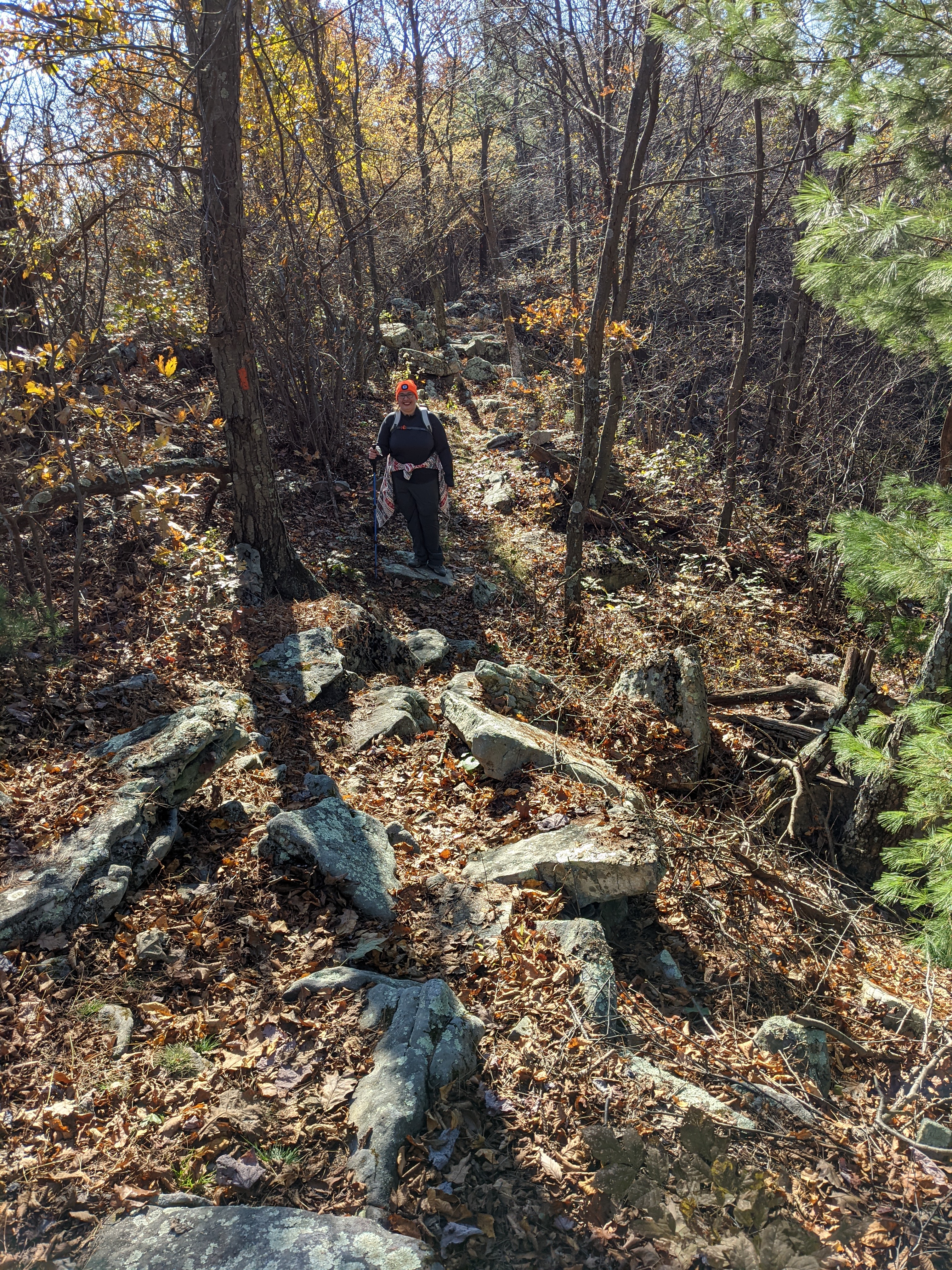
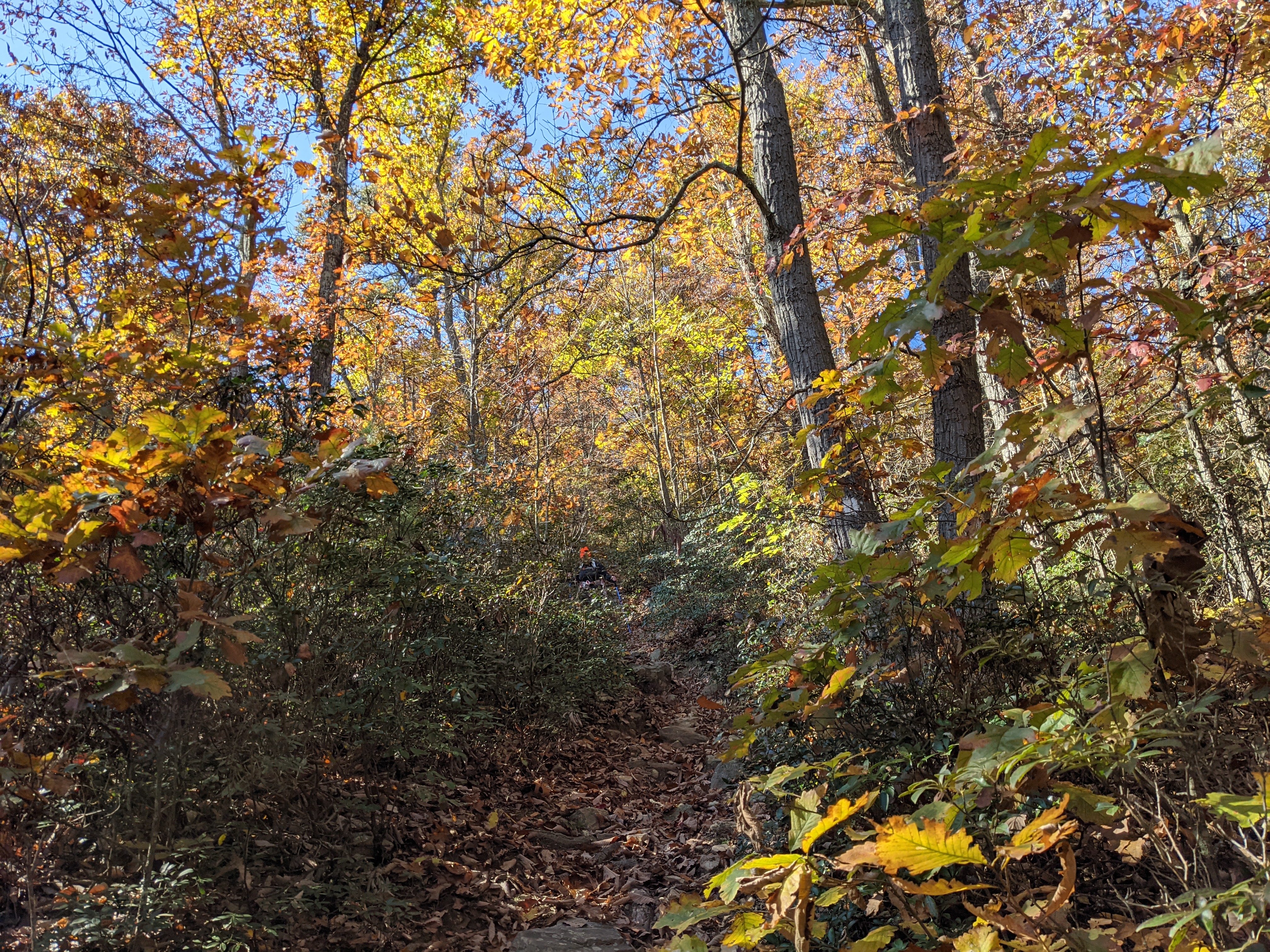
Horseshoe Trail (0.72 mi, most difficult hiking): We took the horseshoe trail down to the North Logging Road Trail. Most of the trail is over a 30% slope and is considered very steep with some portions at 60% slope. Extreme care should be taken when hiking this trail due to the steepness of the trail. Take the trail slow, bring hiking poles, and don't be a afraid to crab walk down some of the steeper areas.
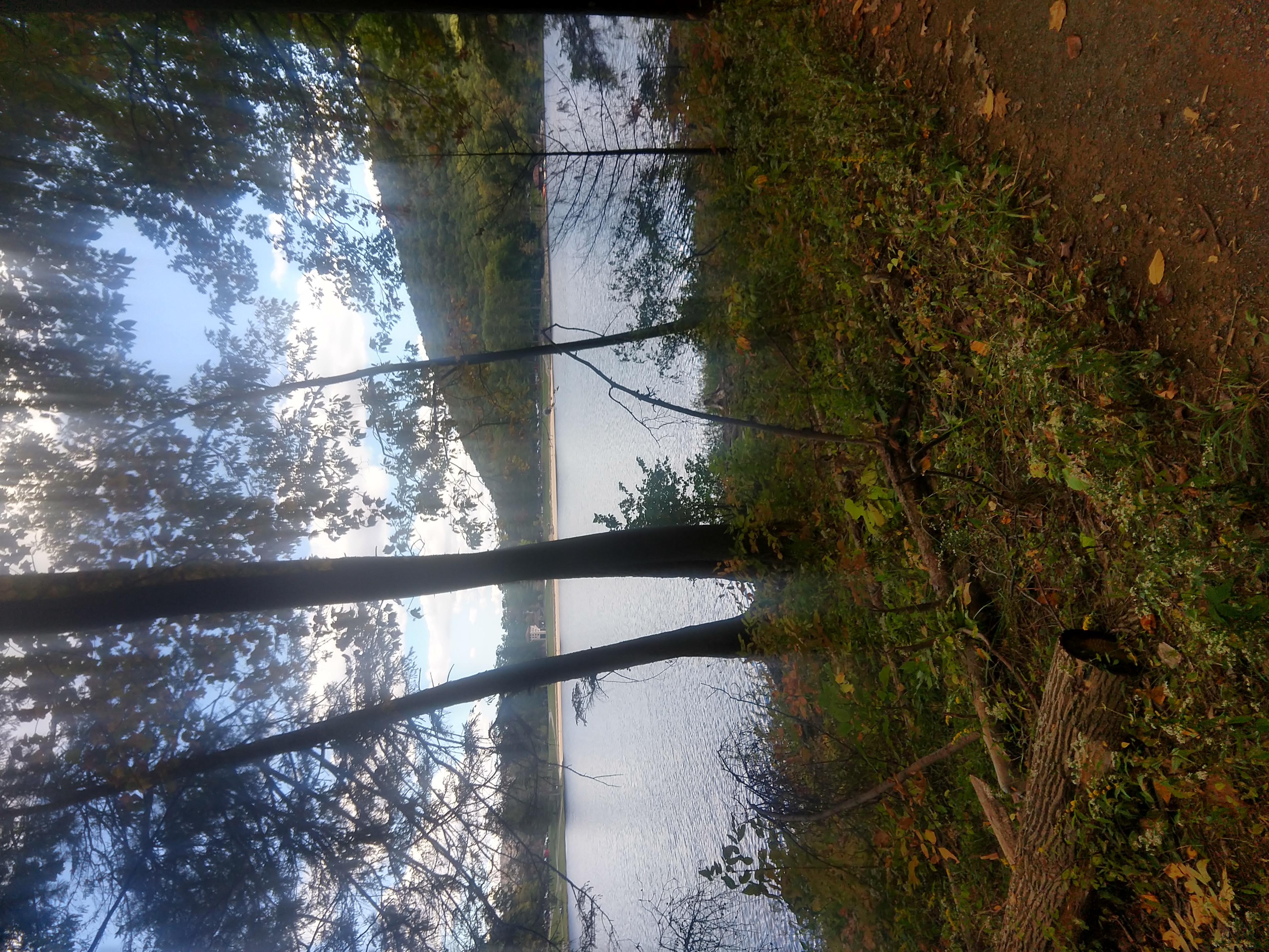
Lakeside Trail (1.45 mi, easiest hiking): Park in any of the lots around the lake and pick up the . Lakeside Trail. The Lakeside Trail is an easy trail forming a loop around Cowans Gap Lake. One can see the beauty of Cowans Gap Lake and watch as wildlife interact with the lake.. The West side trail is also part of the Standing Stone Trail with the trailhead a the dam of Cowans Gap Lake.

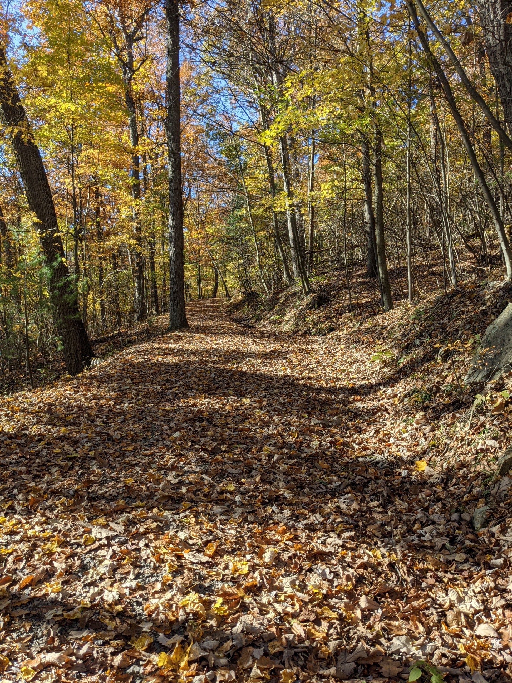
North Logging Road Trail (0.9 mi, easiest hiking): The North Logging Trail passes between the Knobsville Trail and the Horseshoe Trail. The trail is an easy multiuse trail that is fairly level throughout. We took the trail back after coming down the Horseshoe trail to make the loop.
One Mile Trail 1 mi loop, easiest hiking): Park at Lot #3 and access the trail across the street. The one mile trail is an easy trail through the woods along the bottom of Tuscarora Mountain with lots of different things to see. The trail begins as both the 1 mile and 3 mile trail before splitting to the right at Junction 1. At the end, you will need to walk a short section of trail along the side of the road back.
Plessinger Trail (1.1 mi, more difficult hiking). Park at lot #4 and access the trail to the south. The Plessinger trail is a streamside trail that follows Aughwick Creek. The trail is a wildlife haven and contains some rocks. To make this trail a loop, take a right (go west) on the Cameron trail at Junction 3. Take a right (go north) on the South Logging Road Trail.at Junction 4. Hike down (go east) the Knobsville Road trail at junction 5. We have hiked the loop both backwards and forwards. It is a fun trail at Cowans Gap.
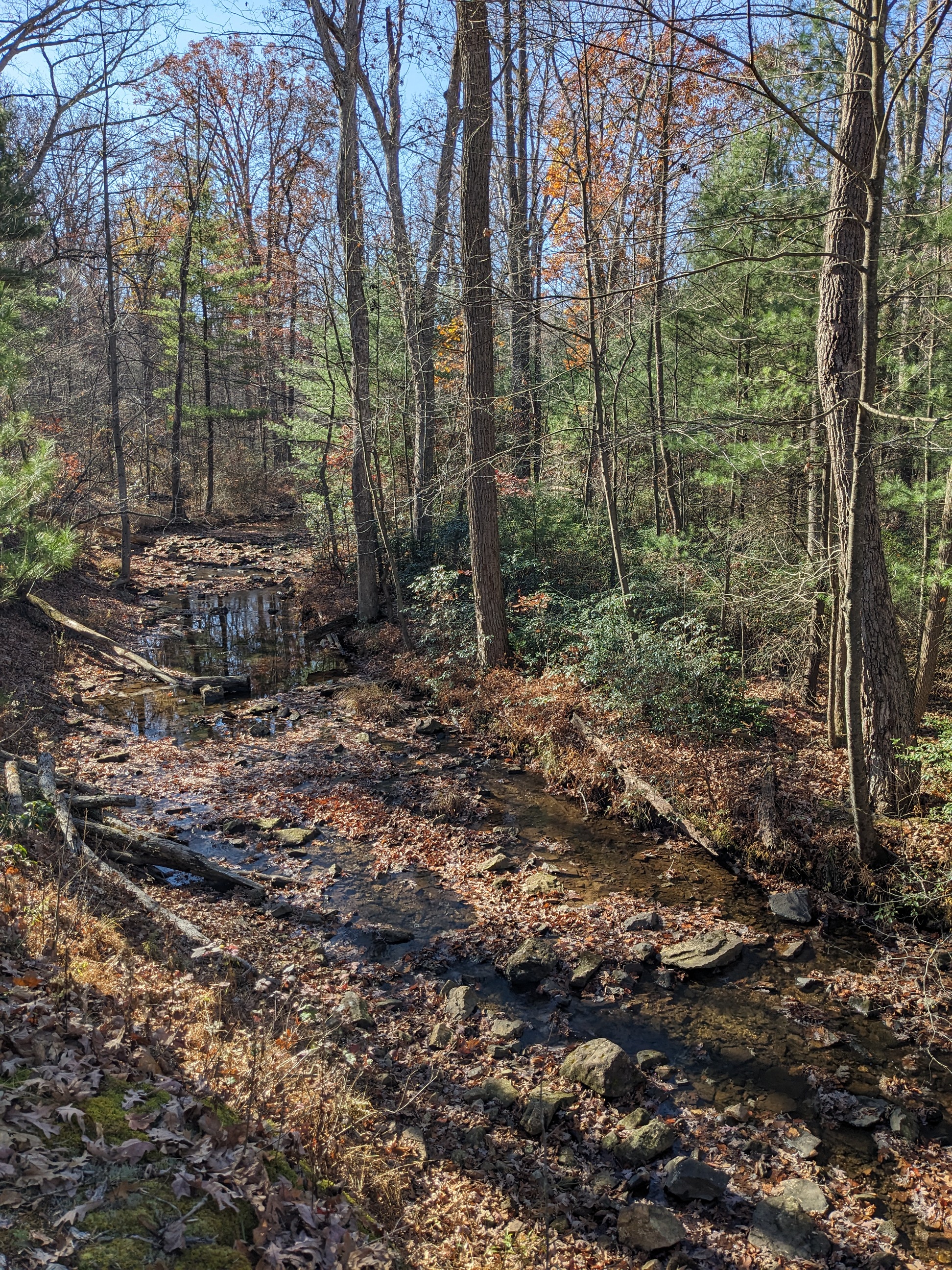
South Logging Road Trail (0.7 mi, easiest hiking): We utilize the South Logging road trail to create a loop with the Plessinger Trail. The trail is a wide multiuse trail that is very easy to hike. I would generally not hike this trail without using it as a connector trail.
Knobsville Road Trail / Standing Stone Trail (80 mi, 2.5 mi in park, more difficult hiking): Park at lot #4 to access the Knobsville Road Trail / Standing Stone Trail. The Knobsville Road Trail is an old logging road and is a pretty easy trail to the first lookout. After the first lookout, the road portion of the trail ends. The trail passes through an area where a landslide occurred in 1996. Remains from a Civilian Conservation Corps incinerator may be seen at the first bend,
One can hike to the fist lookout and then back down for a relatively easy hike. If you wish to continue to the second lookout or the Horseshoe Trail , the trail becomes rocky. The standing stone trail continues to the Midstate Trail in Greenwood Furnace State Park. We have gone up to the first lookout and then came back down and have taken the Horseshoe trail down. The horse shoe trail is very steep and is not recommended for inexperienced hikers.
